NFIP FLOOD ZONE EXPLANATIONS
(December 2023)
The National Flood Insurance Program (NFIP) uses a zoning system for assigning an area’s vulnerability to flood losses. A variety of maps are commonly used to show a given community’s or locale’s various zone designations.
|
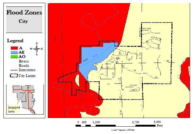
Example: This flood designation map is merely for illustrative purposes. |
|
|
Here is an explanation of the flood zone designations used by the NFIP and FEMA:
|
NFIP FLOOD
ZONES |
|
|
Zone |
Special Flood Hazard Areas - High Risk Mandatory flood insurance purchase is required. Floodplain
management standards apply. |
|
A |
Subject to 100-year flood. Base flood elevation
undetermined. |
|
AE or A1-A30 |
AE and A1-A30 represent areas subject
to 100-year flood with base flood elevation determined. |
|
AH |
Subject to 100-year shallow flooding (usually areas of
ponding) with an average depth of 1-3 feet. Base flood elevation determined. |
|
AO |
Subject to 100-year shallow flooding (usually sheet
flow on sloping terrain) with average depth of 1-3 feet. Base flood elevation
undetermined. |
|
AR |
Previously accredited flood protection system has been
decertified and is in the process of being restored to provide a 100-year or
greater level of flood protection. |
|
A99 |
Subject to 100-year flood, with federal flood
protection system (levee/dam) under construction. Base flood elevation
undetermined. |
|
Zone |
High Risk – Coastal Areas Mandatory flood insurance purchase is required. Floodplain
management standards apply. |
|
V |
Subject to 100-year flood and additional velocity
hazard (wave action). Base flood elevation undetermined. |
|
VE or
V1-V30 |
Both VE and V1-V30 represent areas subject to 100-year
flood and additional velocity hazard (wave action). Base flood elevation
determined. |
|
Zone |
Moderate to Low-Risk Areas |
|
B, X (shaded) |
Both B and X500 represent areas between the limits of
the 100-year and 500-year flood. It also applies to certain areas subject to
100-year flood with average depths less than 1 foot or where the contributing
drainage area is less than 1 square mile, or areas protected by levees from
the 100-year flood. |
|
C, X (unshaded) |
C and X represent areas outside the 500-year flood
plain with less than 0.2% annual probability of flooding. |
|
Zone |
Undetermined Risk Area |
|
D |
Unstudied areas. Flood hazards are undetermined. |